SECTION 1
Middle Piney Lake to Wyoming Peak
Distance: 10.1
Cumulative distance: 10.1
Est. average travel time: 3:00
Elevation gain / (loss): 3,222’ / (3,246’)
The race starts on the east end of MIddle Piney Lake. Directions to the start are here.
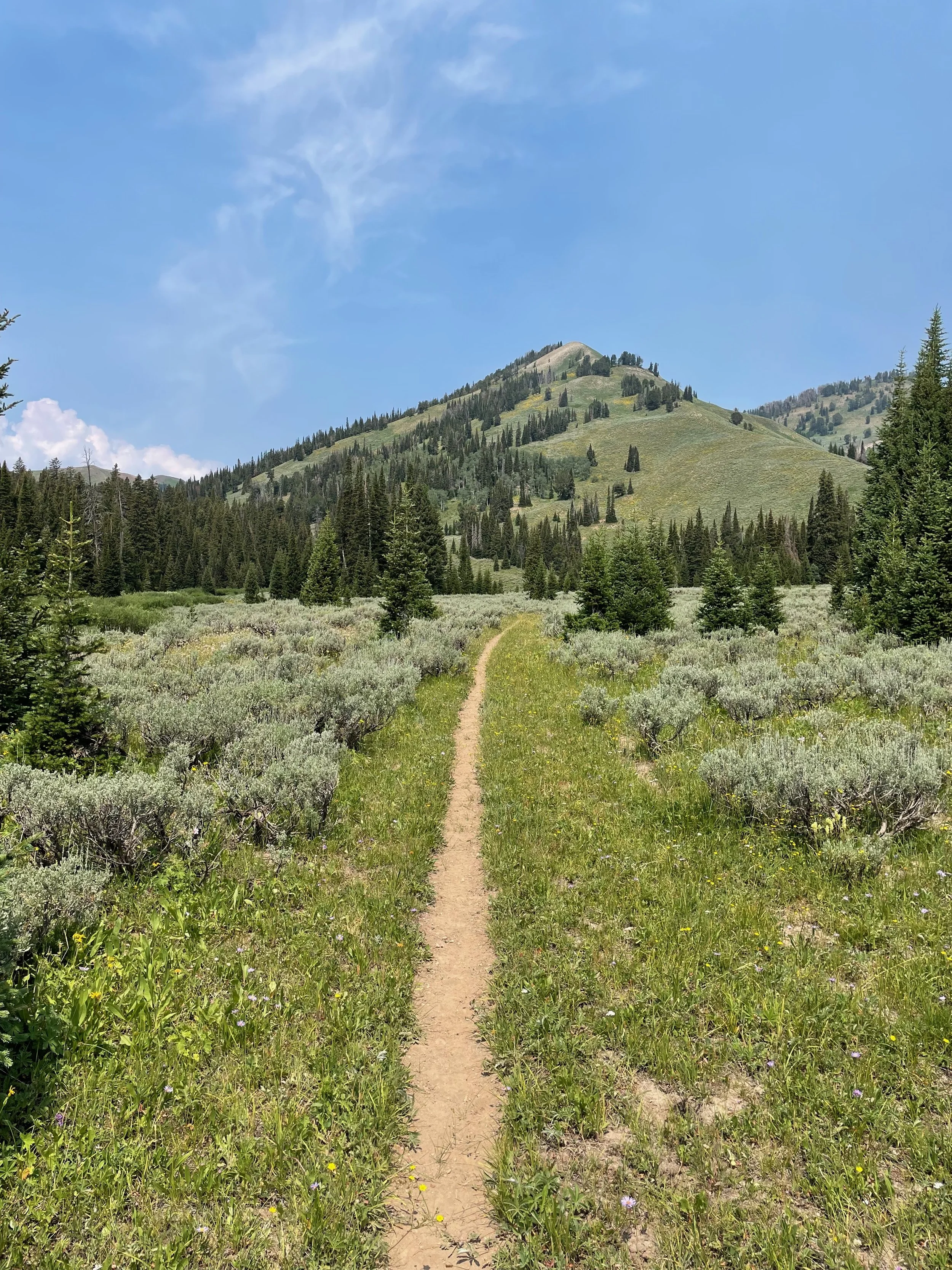
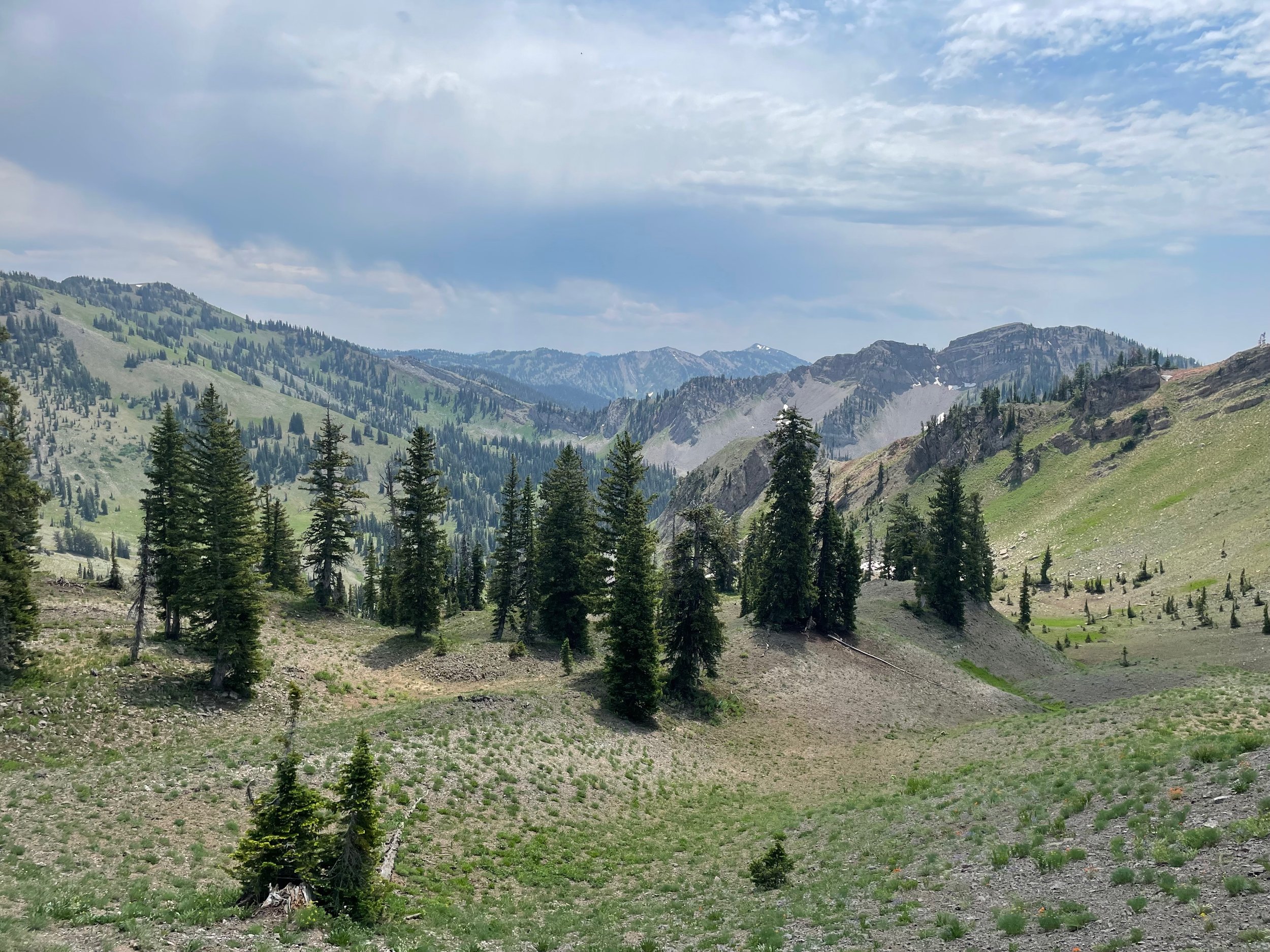
You’ll head west along the lake, with Fish Creek Mountain to your left. Straight ahead of you will be Mount March Madness and Wyoming Peak — both of which you’ll summit before the first aid station.
After the lake, you’ll grdually climb along Middle Piney Creek and find yourself in a large basin just below the spine of the Wyoming Range.
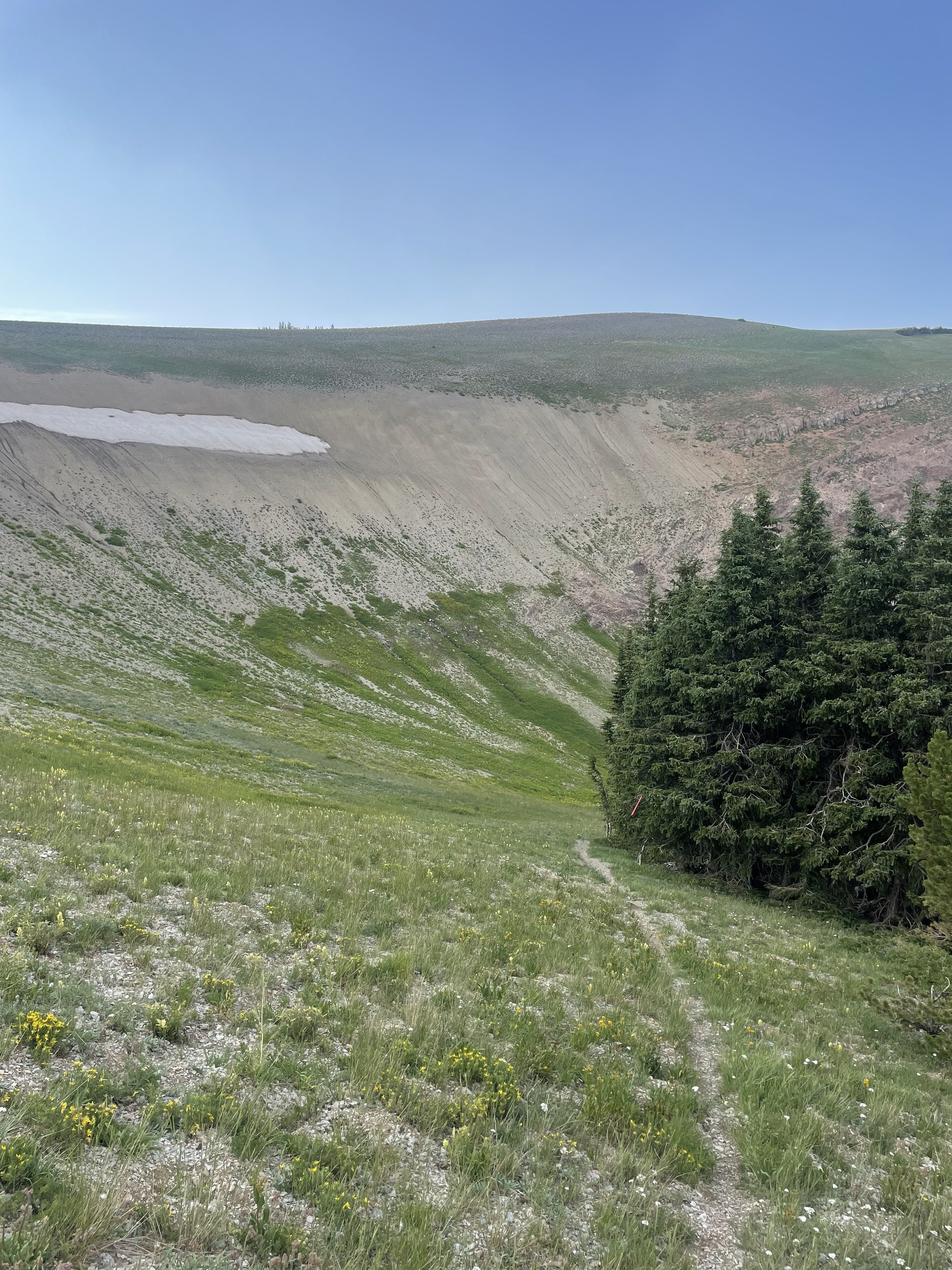
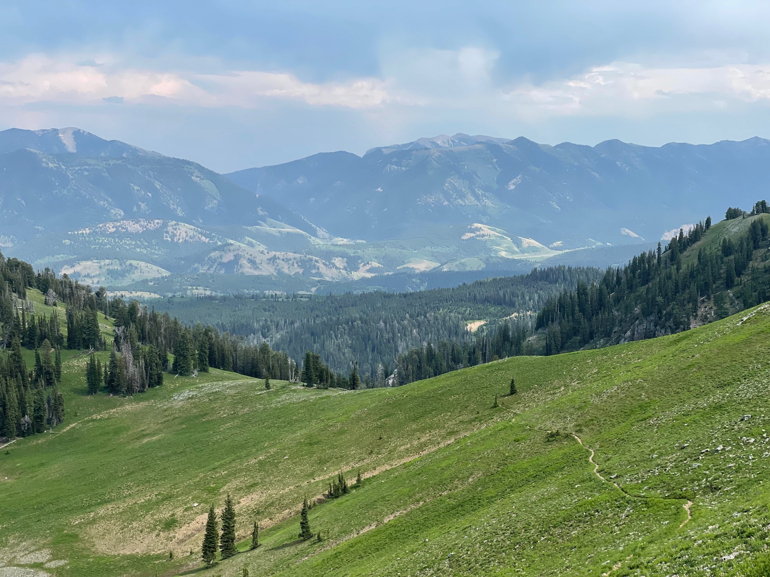
To get up, you’ll need to climb out of the Middle Piney Creek basin. You’ll make a hard left on the Wyoming Range National Recreation Trail (WRNRT), and cut across a large, open bowl devoid of any trees.
At the top, you’ll turn right and follow the ridgeline. The trail is faint to non-existent along the ridge, so keep an eye out for cairns and course flags on the ground. As long as you follow the highest point of the ridge, you’ll be fine.
Along the ridgeline, the spine of the Wyoming Range, is where the fun begins. You’ll summit three successive peaks, all of which are covered in scree. You might have to use your hands on some of the larger, potentially unstable, boulders. March Madness Peak has some doozies.
When you’re atop March Madness Peak, at 11,200’, you can see Wyoming Peak directly ahead of you to the north. You’ll make quick work of the descent into the saddle between the two peaks and begin a series of switchbacks to the top of Wyoming Peak. The final push is a grueling 400’ climb on loose rock.
On top of Wyoming Peak are the remnants of an old fire lookout tower. If the skies are clear, you’ll be able to see the Wind River Range and Red Desert to the east, the Tetons to the north, the Palisades to the northwest, the Salt River Range to the west — and, of course, the Wyoming Range laid out in front of you.
You’ll return the way you came, running down to the saddle. Then, you’ll turn right and descend 2,500’ to the Wyoming Peak trailhead. The aid station will be waiting for you here. The descend is a series of long, runnable switchbacks. The views and footing should be excellent.
SECTION 2
Wyoming Peak to Box Canyon
Distance: 7.0
Cumulative distance: 17.1
Est. average travel time: 1:30
Elevation gain / (loss): 204’ / (1,415’)
This is the easiest section of the entire race — a modest reward for the 3,700’ of climbing behind you. You’ll exit the Wyoming Peak aid station by turning right (heading north) on Forest Road 10126. The road will be in good shape for about two miles, at which point, it’s declining quality will match the descent. You’ll drop about 1,000’ through heavy timber and loose rock.
About 2.3 miles in, you’ll make a hard right and soon bottom out in the Kinney Creek drainage. Straight ahead of you will be the burnt red slopes of Mount Coffin. You’ll enter a large, open meadow and turn left to parallel Kinney Creek as it flows west.
Forest Road 10126 will end at a “T” intersection with Greys River Road — turn right and stay the course until the Box Canyon aid station in about 3.5 miles. Greys River Road is smooth and presents a barely perceptible drop of 100’. It’s time to cruise. With the exception of crews driving to see their runners at Box Canyon, traffic along Greys River should be light.
SECTION 3
Box Canyon to Roaring Fork Lakes
Distance: 15.2
Cumulative Distance: 32.3
Average Travel Time: 4:30
Elevation Gain / (Loss): 3,760’ / (2,940’)
This is the longest stretch on the course!
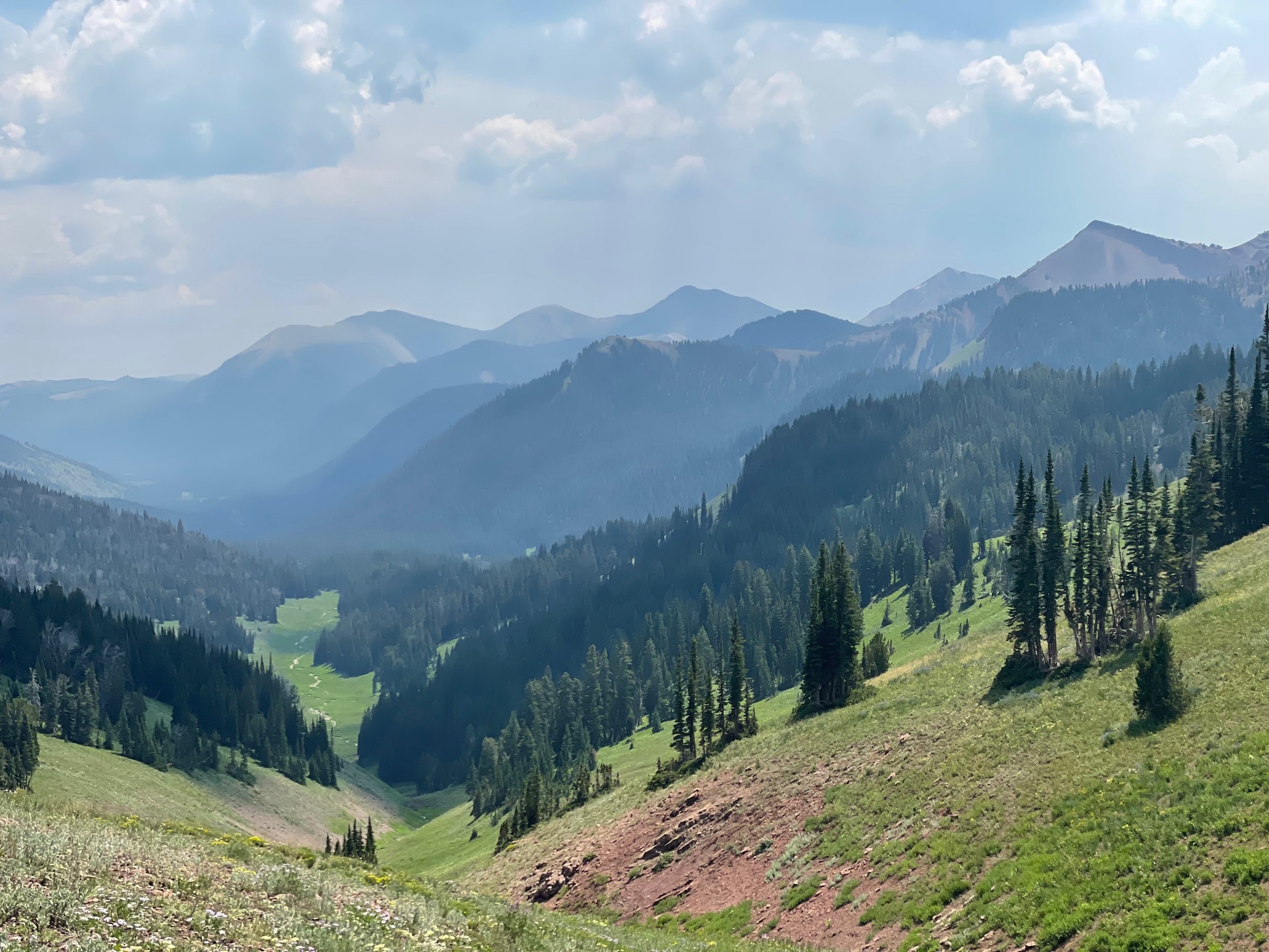
From the Box Canyon aid station, you’ll turn back east toward the spine of the Wyoming Range. Straight ahead of you is a 2,000’ climb through, well, a box canyon. You’ll be able to see the “V” of the canyon laid out in front of you, flanked by peaks cresting above 10,500’.
As you climb, you’ll follow Box Canyon Creek to its headwaters in Lunch Creek Meadows. You’ll be on single track trail every step of the way to the next aid station, Roaring Fork Lakes.
The climb is about 3.5 miles long. The first half is gradual, gaining 1,000’ in two miles. You’ll tackle the remaining 1,000’ in 1.5 miles. You’ll traverse several scree fields comprised of the reddish rock that dominates the southern half of the Wyoming Range.
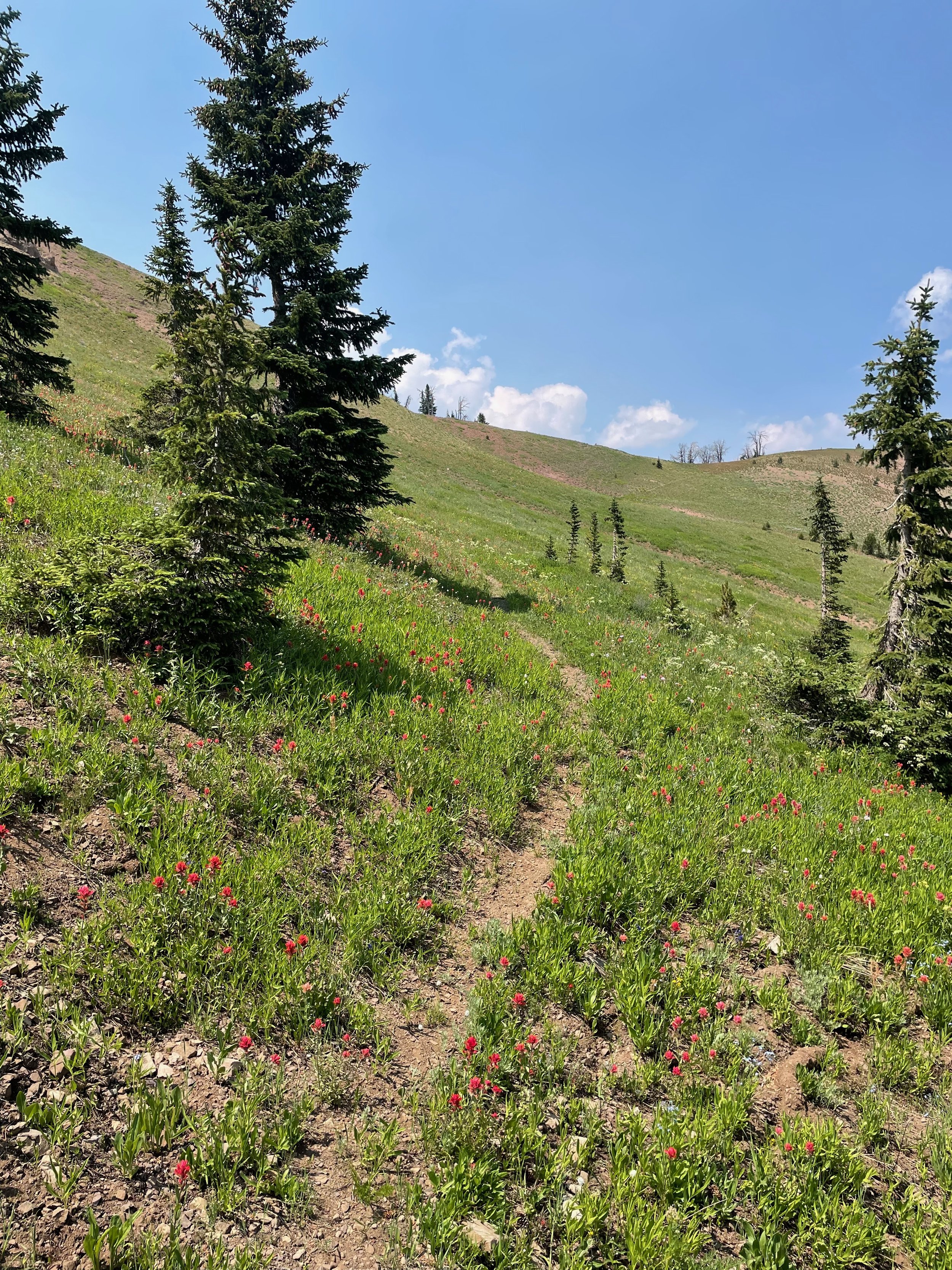
As you near the top of the climb, the rocky trail will give way to an alpine meadow. The trail becomes faint through the tall meadow grass, so play close attention to the pink pin flags. Ultimately, you’re heading east across the meadow.
Don’t be surprised if your feet get wet. If there’s been precipitation lately, several small ponds might form in Lunch Creek Meadows.
As you approach the far side of the meadow, you’ll hang a hard right and start climbing again — from 9,600’ to 10,600’. Once on top, you’ll head south across what looks like a moonscape. The top of the mountain is littered in small grey rocks and not much else.
After about 1.5 miles on top of the moon, you’ll begin your descent into the North Piney Lake basin. Parts of this section of trail is rough, so pay close attention to flagging.
The approach to the lake is about 2.9 miles, and the trail gradually improves. Once you pass the lake, you’ll follow Lake Creek until it merges with Lunch Creek.
Along Lunch Creek you should have relatively flat and fast miles to the aid station. The final stretch to the aid station is a short out-and-back, so you might see runners headed in both directions.
SECTION 4
Roaring Fork Lakes to Menace Falls
Distance: 11.9
Cumulative distance: 44.2
Est. average travel time: 4:00
Elevation gain / (loss): 1,838’ / (1,802’)
The Roaring Fork Lakes aid station sits at the end of a 2.5-mile out-and-back. When you’re done at the aid station, you’ll head back the way you came — west toward the spine of the Wyoming Range.
Once again, you’ll parallel North Piney Creek, following it up to its headwaters in North Piney Meadows. The total climb is about 1,800’. Just above North Piney Meadows, around mile 7.3 of this section, you’ll pass an unnamed pond, which will mean you’re near the top.
Shortly after the pond, you’ll approach an intersection that’s marked by a classic brown Forest Service sign. (The sign marks the end of a mechanized travel zone and the beginning of a Bighorn Sheep “critical habitat.”) You’ll turn right at the intersection, once again rejoining the WRNTRT. For a few hundred yards, you’ll be traveling through a burn zone, which will likely have a few trees down and a handful of game trails — pay close attention to the course markers!
You won’t be in the burn long. After another few hundred yards, you’ll enter a 1.5-mile section of open meadow. The trail is faint to non-existent through this section. You’ll need to closely follow the pin flags on the ground. The trick is to keep traveling north through the meadows, going over a series of small rollers.
When you exit the meadows, you’ll cross a dry creek-bed that, seasonally, marks the headwaters of the South Fork Cottonwood Creek. When you cross the creek-bed, you’ll officially be on the South Fork Cottonwood Trail, which takes you down 1,400’ to the Menace Falls aid station.
The actual falls — the namesake of the Menace Falls aid station — are about 0.5 miles down the South Fork Cottonwood Trail at 9,500’. You can see the falls if you look back while you’re descending — and if the sun is still up. When you see a wall of reddish scree on the mountainside in front of you, it means you’re getting close to the falls.
Once you’re past the falls, you’ll really start to descend. You’ll head into a tight canyon that’s riddled with loose rock. There are several sections on this canyon where the trail has slide down. Take your time and be smart about your footing.
On the north end of the canyon, you’ll gradually turn to the right and head east toward the aid station. You’ll have about 1.5 miles of slight downhill through a series of pine stands and meadowlands. Just before the aid station, you’ll cross Cottonwood Creek, navigate some tight willows, and travel down an old Forest Road that’s gradually becoming single track trail.
The aid station sits in the middle of a large washout. Underneath you will be gravel-sized red rocks that look like the scree you traversed below Menace Falls. (It probably came from up there a few thousand years ago.)
Be sure to fuel up before leaving the Menace Falls aid station. The push to McDougal Gap, the halfway point, is a doozie.
SECTION 5
Menace Falls to McDougal Gap
Distance: 10.2
Cumulative distance: 54.6
Average travel time: 3:45
Elevation gain / (loss): 2,105’ / (2,116’)
Menace Falls to McDougal Gap — where to begin? By crossing the South Fork South Cottonwood Creek again, I suppose.
That’s right. A few hundred yards after you exit the aid station, you’ll once again get your shoes wet in the South Fork South Cottonwood Creek before entering the South Cottonwood Creek drainage. (Yes, they are different.) You can try to tiptoe around it, but you’re probably better off just charging through the water.
After another few hundred yards, you’ll approach one of the more interesting features on the course: an unnamed pond that looks like a miniature Caribbean: it has white sand and crystal-clear turquoise water. It’s off to the left of trail, through some pine trees, and reasonably visible in the daytime.
As you pass the pond, you’ll enter a flat and fast section through dense pine. This is a great time to pick up the pace. You can maintain your heightened pace for another mile as you move between open meadows and pine stands. In the open meadows, you’ll have big views down the valley.
The valley will narrow as you head back up to the spine of the Wyoming Range.
This is when one of the steepest climbs on the course begins. You’ll climb about 1,000’ in one mile without a single switchback — it’s straight up on loose, rough trail. And, as you’ve heard a few times already, the trail will get faint in several places before you cross the pass into Sheep Creek and begin your descent to McDougal Gap.
Unless you’re in a big hurry, you should look around you when you’re on the spine. You’ll see nothing but ridges and valleys. If you look back the way you came, you’ll be able to see the entirety of the drainage you just came up. It’s beautiful.
From the top of the pass, you’ll travel downhill nearly 2,000’ to the McDougal Gap aid station. You’ll once again travel through a narrow valley, going back and forth between meadows and pines.
With three miles to go before the aid station, the descent will flatten off, and you’ll be running through forest. You’ll pass between a tight slot with two 10,000’ peaks to your left and right. When you come out of the woods, you’ll find yourself on a ridgeline with Mount McDougal straight ahead.
It won’t be long before you hit the trailhead. Turn right on the gravel road, go straight for a few hundred yards, and the aid station will be to your left.
You’re halfway home.
SECTION 6
McDougal Gap to Blind Bull
Distance: 10.2
Cumulative distance: 64.9
Average travel time: 4:45
Elevation gain / (loss): 2,741’ / (2,328’)
From McDougal Gap, you have mostly rollers and open meadows all the way to Blind Bull. Although you’ll gain over 2,700’ in this section, you won’t encounter any long, sustained climbs. Success in this section is all about grinding — one foot in front of the other without letting up.
This area is quintessential rangeland. There’s a solid chance you’ll encounter cattle or sheep in the meadows that sit below Mt. McDougal. You’ll also stumble across the remnants of old mining infrastructures. Around mile 53, you’ll pass right over the abandoned Cottonwood Mine, which is only recognizable now because of the black tailings around it.
Gunsight Pass is one of the more recognizable features on the northern half of the course. Although most of you will pass by it at night, it’s worth keeping an eye to your left around mile 55. Look for a break in the granite wall with a small alpine lake below it.
Once you’re past Gunsight Pass, you’ll gradually break away from Mt. McDougal and travel downhill through more rangeland to Blind Bull. This section is a mix of trees and meadows, interspersed with lots of game trails. Keep your eyes on those course markings.
About 1.5 miles before the Blind Bull aid station you’ll have to contend with what is, in the RD’s opinion, the most frustrating climb on the course — a 450’ up-and-over to drop into the Blind Bull drainage. The Blind Bull aid station sits at 8,900’ and is located in a working outfitter camp.
SECTION 7
Blind Bull to Deadman
Distance: 9.9
Cumulative distance: 74.8
Average travel time: 3:00
Elevation gain / (loss): 2,161’ / (3,773’)
After warming up (or cooling down) at the Blind Bull aid station, you’ll continue north on the Wyoming Range trail for about 1.5 miles. The initial section is relatively flat through an open range. To the NW, during the day, you can see the top of Deadman Mountain and the fire lookout you’ll enter.
You’ll gradually climb up to another basin, sitting just below Deadman Mountain. You’ll drop into and cross the basin and, then, make the obnoxiously steep, 500’ climb up the face of Deadman.
Once on top, you’ll traverse a narrow ridge line, enter the fire lookout, and take in views of the Wyoming Range, Salt River Range, Tetons, Winds, Palisades, and the northern stretch of the Wasatch.
You’ll head back along the ridge, down Deadman face, and begin your 3,000’ ascent into the Deadman creek drainage. The trail is steep and light on switchbacks.
Keep an eye out for elk. We see a ton in this drainage!
SECTIONS 8 & 9
Deadman to Greys River to Grizzly Basin
Distance: 3.2, 6.0
Cumulative distance: 77.9, 83.9
Average travel time: 1:00, 2:00
Elevation gain / (loss): 54’ / (781’), 292 / (478’)
We consolidated sections 7 and 8 because they’re strikingly similar — gradually down hill on fire road.
From the Deadman aid sation, which is not crew accessible, you’ll head east for 3.2 miles, back down into the Greys River basin. At the junction with Greys River Road, where you’ll turn right, you can meet your pacers and/or crew. There are no volunteers here!
Then, you’ll head north on Greys River Road for 6.0 miles. You’ll parallel the Greys River and sit between the Wyoming Range to your right and the Salt River Range to your left. Looking to your left, you’ll see the mountains you’ll soon go around over the final 22 miles.
Keep an eye out for cars and ATVs. There will be dust! During the day, this section of road is heavily traveled. At night, assume vehicles cannot and will not see you.
The aid station will be just off the main road to your left. You’ll cross Greys River on a small bridge.
SECTION 10
Grizzly Basin to Strawberry Creek
Distance: 11.5
Cumulative distance: 95.4
Average travel time: 5:30
Elevation gain / (loss): 3,236’ / (2,550’)
This section is tough, especially at night. You’ll head west along White Creek and gradually follow it up to its headwaters in the Salt River Range. (That’s right — you’ve left the Wyoming Range. Bonus mountains!) You’ll cross White Creek something like six times…
The climb is gradual but deceptive — 3,000’ over 6.8 miles. Much of the initial climb is through a patchwork of dense timber and small meadows. With about two miles to go, the timber opens up, and you’ll be heading up a series of bowls, sitting just below 10,000’. This is among the prettiest parts of the course. But don’t do too much sightseeing, as the trail becomes faint as you enter the bowl.
Once you crest the ridge, you’ll drop into the Strawberry Creek drainage and descend 2,300’ over 4.7 miles. About 1.5 miles down, you’ll pass an unnamed high mountain lake.
After the lake, the trail is wide open and fast. You should be able to cruise.
With about 0.5 miles to go to the Strawberry Creek aid station, you’ll enter an out-and-back section, so keep an eye out for runners coming toward you.
Strawberry Creek is not crew or pacer acccessible, so don’t you dare dream of dropping here! (It’s a 2.5-hour drive to the finish…)
SECTION 11
Strawberry Creek to Box Y (Finish)
Distance: 10.3
Cumulative distance: 105.7
Average travel time: 4:30
Elevation gain / (loss): 937’ / (1,312’)
Home stretch! You’ll leave the Strawberry Creek aid station headed east, back the way you came. You’ll pass through dense timber and enter a large, flat meadow.
On the far end of the meadow, you’ll make a hard right and continue your five-mile, 2,500’ climb over the spine of the Salt River Range. The climb is short and steep. Toward the top, the range really opens up, and you’ll once again have big views in every direction.
The final push to the top takes you into another high mountain bowl. Sherman Peak and Virginia Peak will be to your left, and the entire Wyoming Range will be spread out in front of you. If you know where to look, you can make out Deadman Mountain, Mount McDougal, Roaring Fork Peak — and Wyoming Peak.
Box Y is just a few thousand feet below…
It’s now time to descend nearly 3,000’ back down into the Greys River basin. With it’s southeastern exposure, the descent is broadly open, with fewer trees than the western slope you just came from. You’ll occasionally be able to see the large open meadow at the bottom of the valley — this is the Box Y’s property. Keep going down. You’ll finish the race with a 1.4-mile kick of 1,500’.
Congratulations on your 100-mile finish — with five bonus miles.


