2027 race dates set for August 6-8. Lottery opens on February 1
The 2027 Wyoming Range 100 will occur on August 6-8, pending confirmation on the dates from the Forest Service.
We’ll publish our 2027 lottery methodology later this fall and open the lottery on UltraSignup on February 1.
Event manual
Our event manual is a single-stop source of information for runners, pacers, crews, and volunteers. Download a copy and bring it to the race!
The essentials
Distance: 105.7 miles
Elevation gain: 24,000’
Course type: Point-to-point
Aid stations: 11
Cutoff: 48 hours
Women’s course record: 27:47:37
Men’s course record: 25:38:02
Avg. finishing time (2024-2026): 40:51:09
Avg. finishing rate (2024-2026): 71.6%
Stewardship partner: Friends of Bridger-Teton
Hardrock qualifier: Yes
Course map
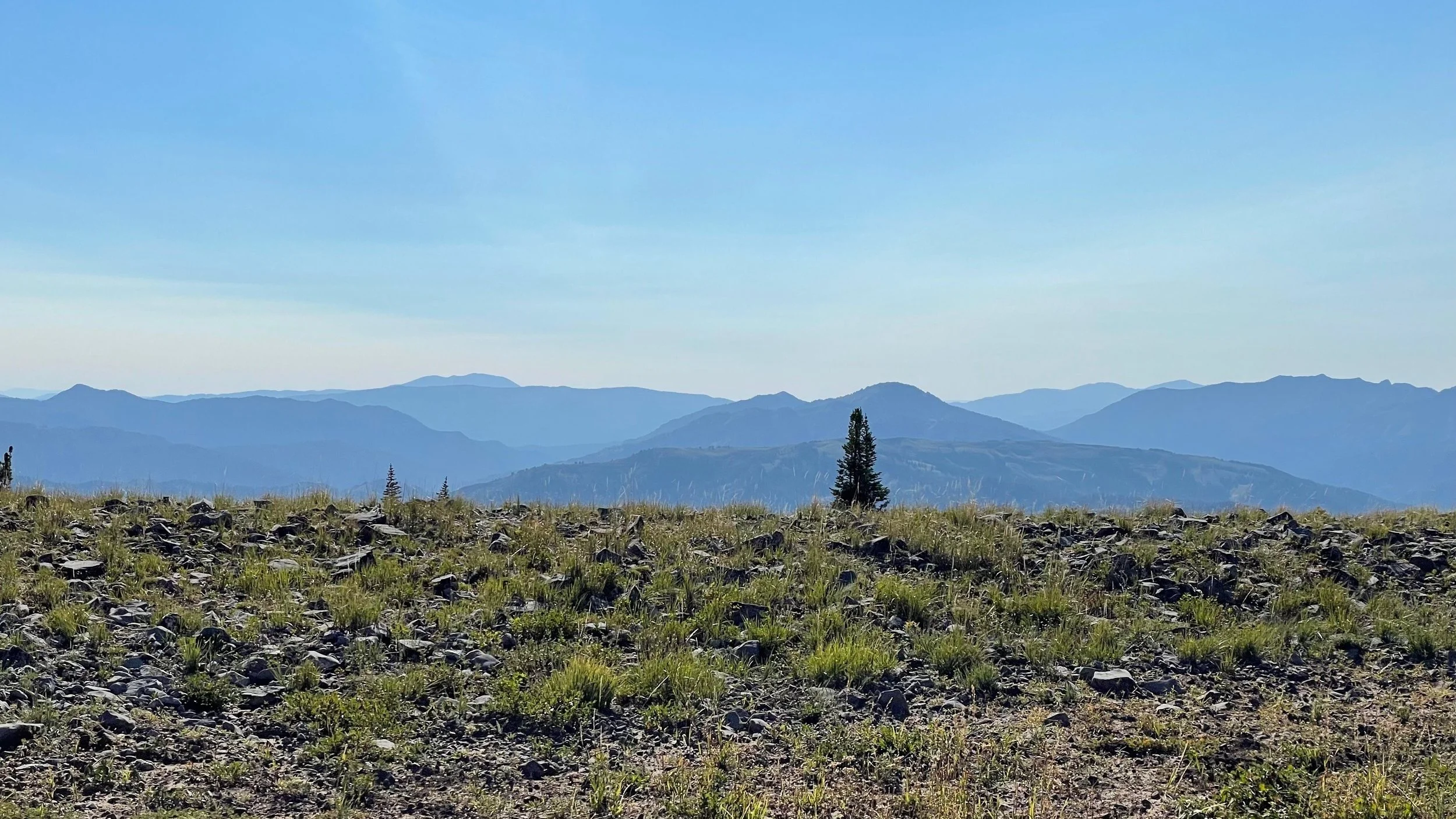
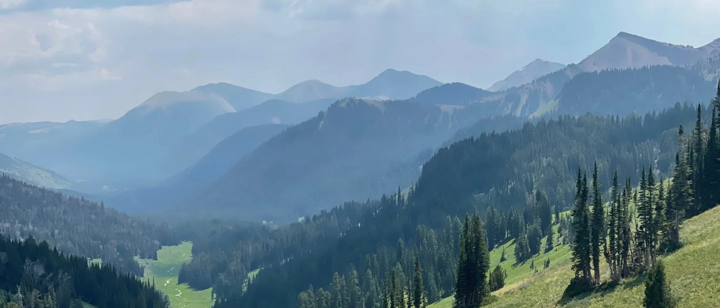
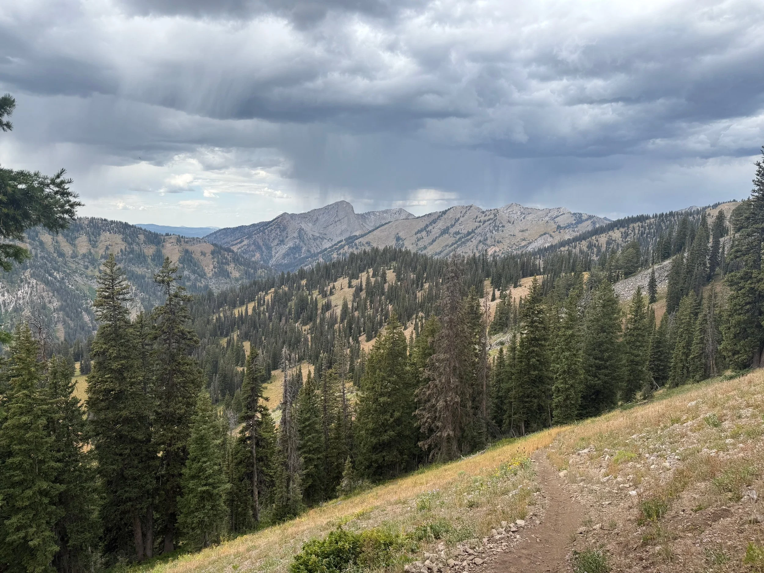
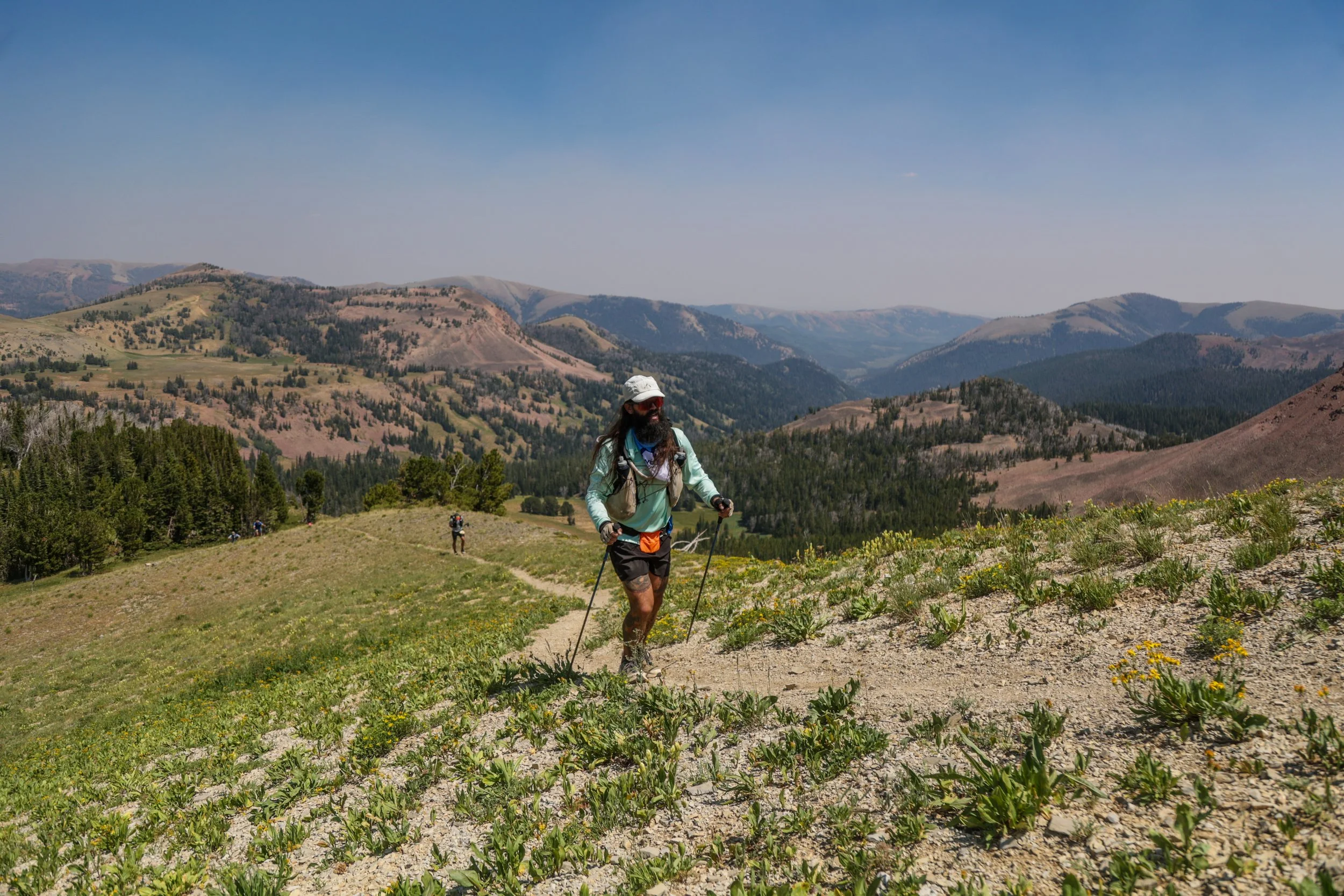
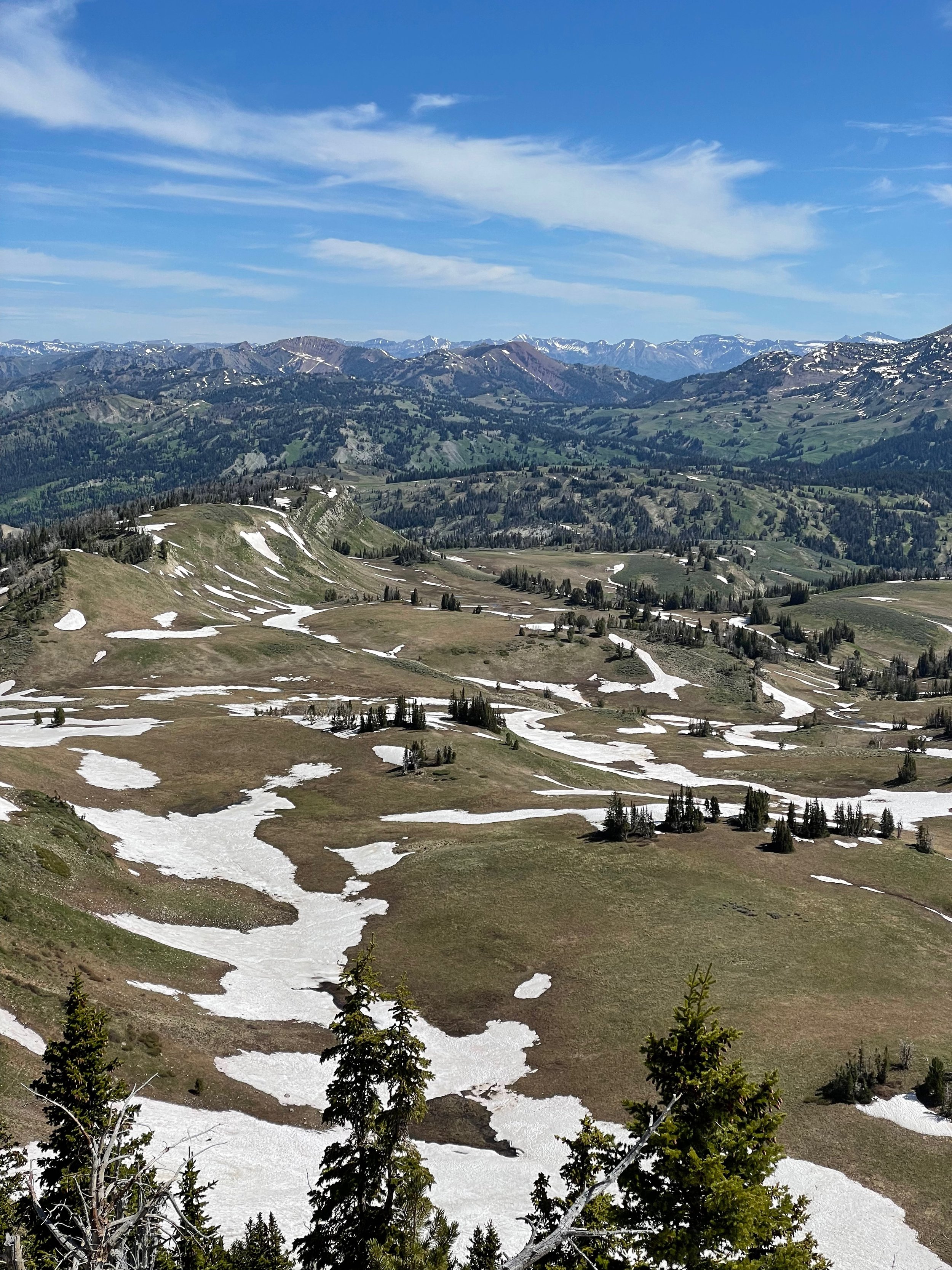
105 rugged and relentless miles through Wyoming high country.

Elevation profile
24,000’ of elevation gain (give or take).

Aid station arrival times
To help you plan, we estimated when runners will arrive at our aid stations.

Results and splits
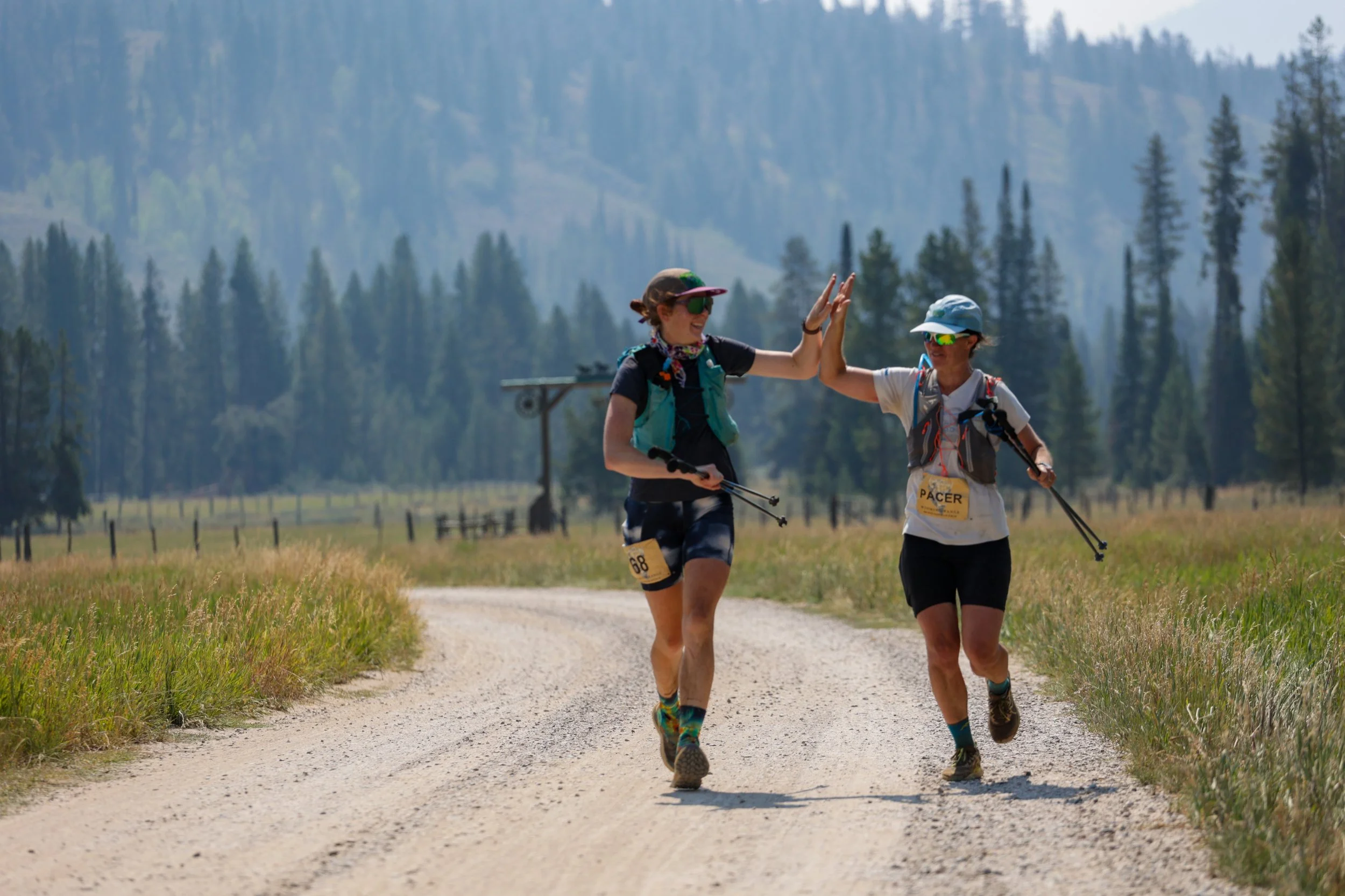
An average finishing time of 41 hours.

Aid stations
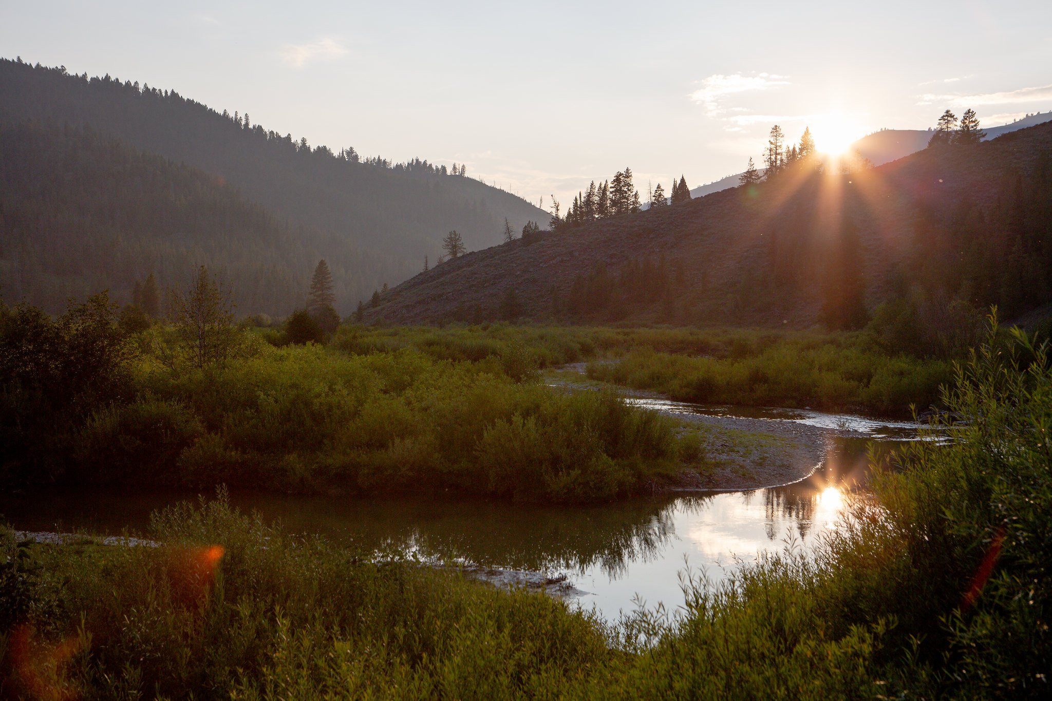
Fair warning — they’re about 10 miles apart.
Course conditions
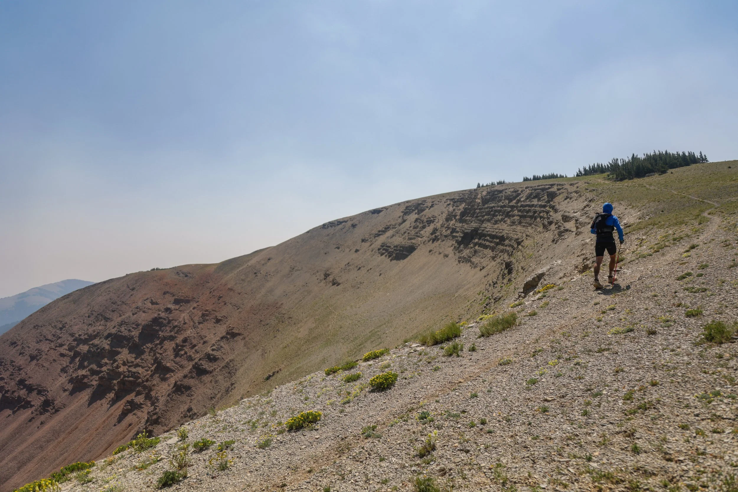
“Ya’ll have a loose definition of ‘trail’…”

Event schedule
Where and when you’ll need to be to find the finish line in 48 hours.
Course flyover
See the adventure from above — in about ten minutes.

A big, beautiful buckle
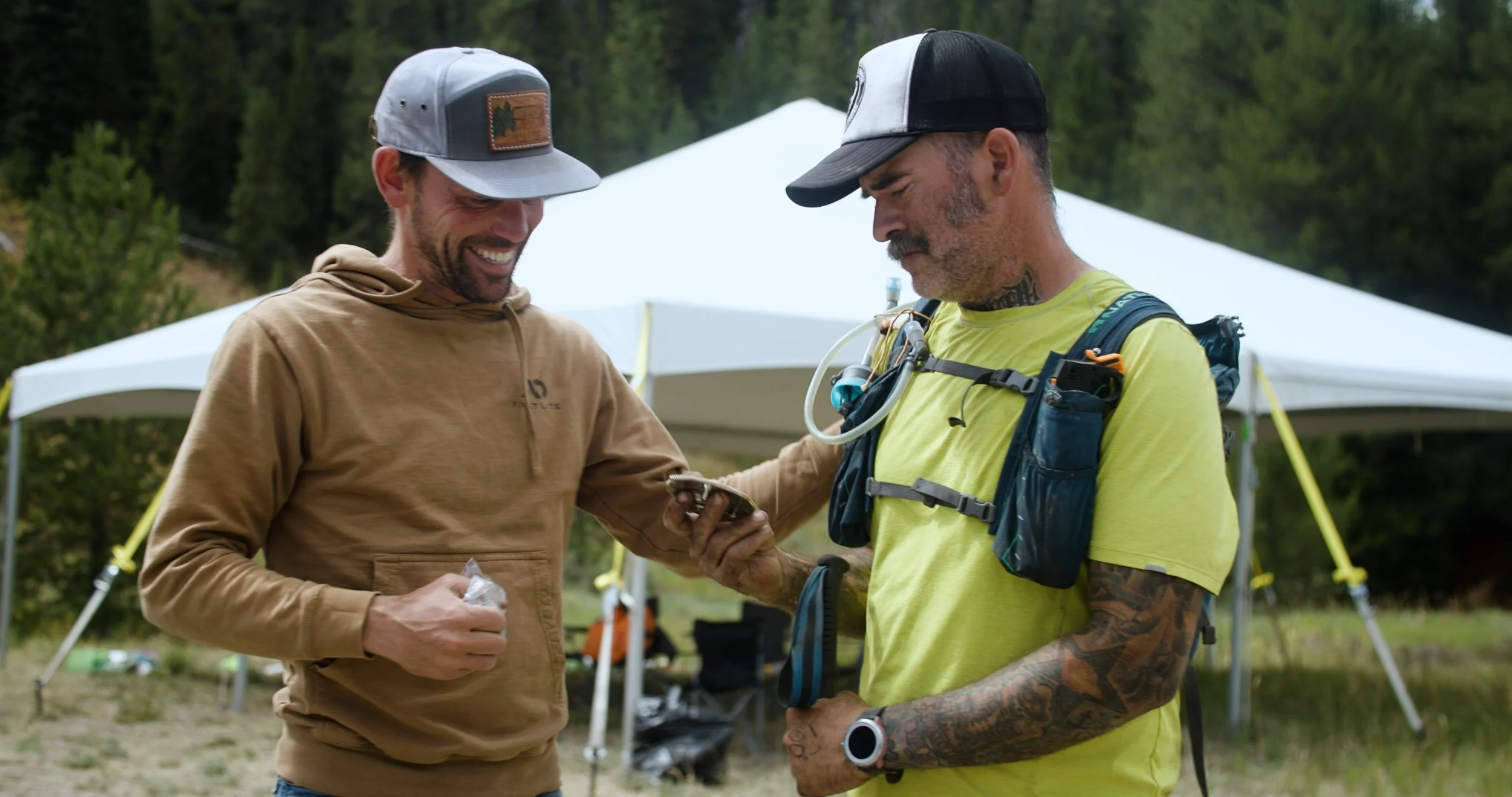
We promise you’ll cherish your finisher’s buckle.